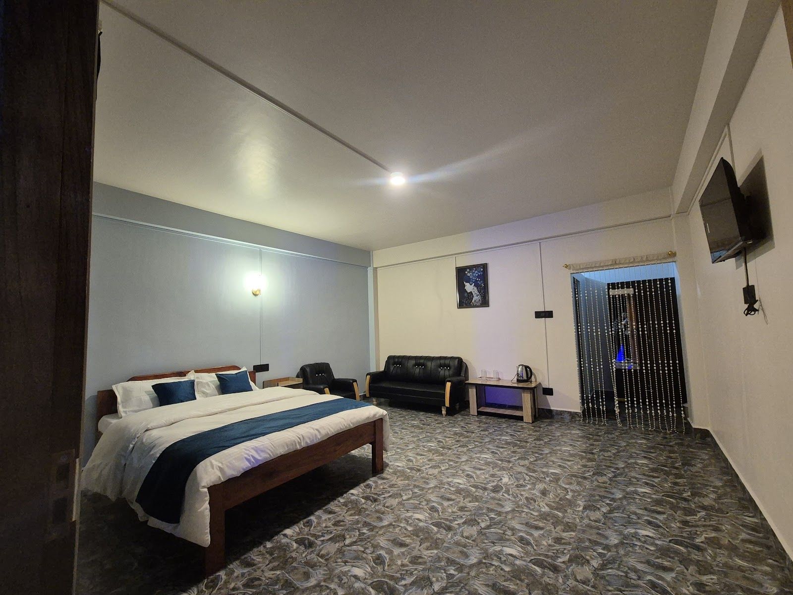
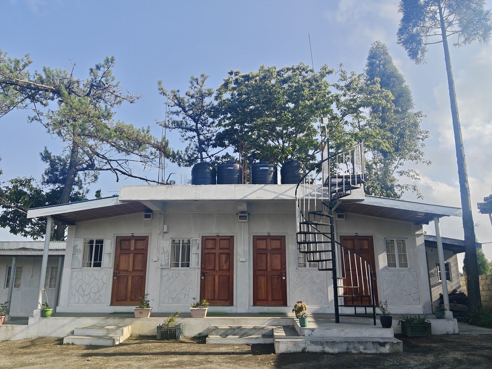
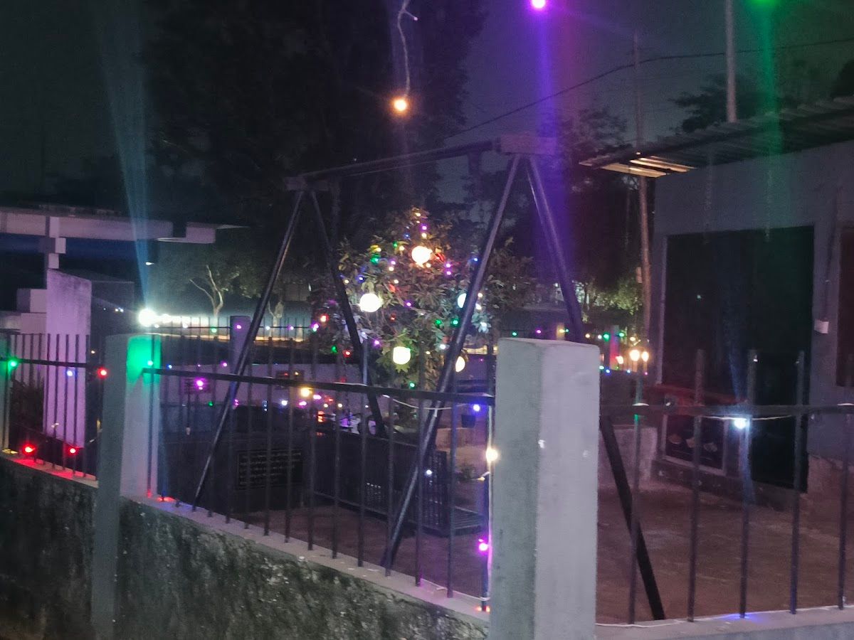
Cherrapunji Homestay, Meghalaya - 4x4 Treks
4.5· 404 stays
Things to do nearby.
The double-decker living root bridge at Nongriat requires a commitment of 3,500 steps down into the valley floor. Travelers should start early in the morning, carry plenty of water, and hire a local guide at the trailhead for the climb back up.
Mawsmai Cave and Krem Phyllut offer accessible limestone cave walking near Cherrapunji town. Mawsmai is lit and easily walkable without technical gear, while smaller nearby caves require sturdy shoes and a flashlight to navigate the narrow natural chambers.
Nohkalikai Falls drops 340 meters straight off the plateau edge, making it the tallest plunge waterfall in India. The viewpoint sits a short drive from the home, best visited during mid-morning when fog clears from the gorge.
The Umngot River at Dawki sits 95 kilometers from Shillong near the Bangladesh border. Between January and March, the water turns glass-clear, allowing small wooden boats to float over visible riverbed rocks.
Mawlynnong village sits along the southern ridge with its stone paths and flower-lined garden walkways. A short walk nearby leads to the Riwai bamboo sky walk, which stretches over the forest canopy for views toward the plains.
Getting there.
Guwahati Airport sits 100 kilometers from Shillong and serves as the primary air connection for travelers visiting Meghalaya. From Guwahati, the drive to Shillong takes roughly three hours along National Highway 40, followed by another two hours along winding hill roads to reach Cherrapunji.
Shillong Airport at Umroi is located 30 kilometers from Shillong town, operating limited direct flights from Kolkata. Taxis are available at the terminal to continue the drive down to Sohra.
Guwahati Railway Station is the nearest major railhead, located 100 kilometers from Shillong. Travelers arriving by train can book direct cabs or shared Sumos from the station up into the Khasi Hills.
Cherrapunji, locally known as Sohra, sits 53 kilometers south of Shillong. The two-hour drive follows a winding mountain road that cuts through high plateau meadows and deep fog belts.
Best time to visit.
October through April brings dry weather, clear skies, and cool mountain nights across Cherrapunji. Days are comfortable for walking, and nighttime temperatures drop enough to make outdoor bonfires welcome. Waterfalls run clean and steady during the early winter months, while river waters down in Dawki clear up completely by January.
Monsoon season runs from June through September, dropping over 10,000 millimeters of rainfall across the plateau. Heavy rains turn the hills green and fill every stream into a roaring torrent, though some lower caves and river paths close for safety. Travelers during these months should pack waterproof gear and expect frequent mist and heavy cloud cover.